Inspect, detect, localize, learn.
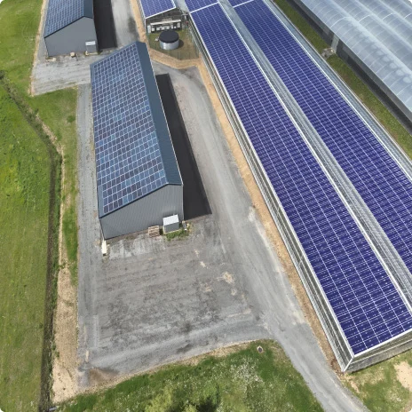
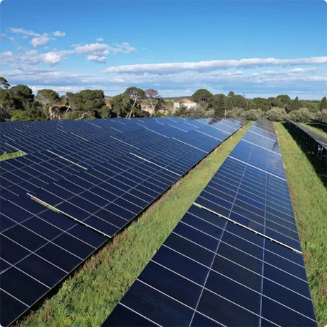
Outflier addresses the challenges of inspecting and maintaining agrivoltaic installations, offering optimized flight plans for any panel configuration including vertical arrays and contextual anomaly detection. It even tackles the complex issue of semi-transparent panels, ensuring thorough and accurate inspections.
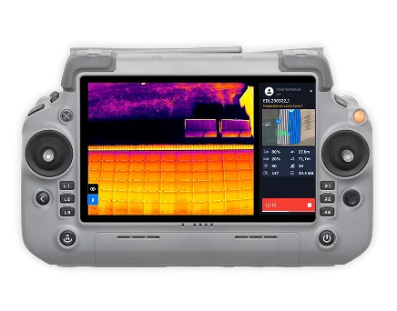
Outflier replaces risky rooftop inspections with fast, drone-based imaging, providing high-definition visuals and automatic report generation. It makes the process far safer, far more convenient, and dramatically quicker.
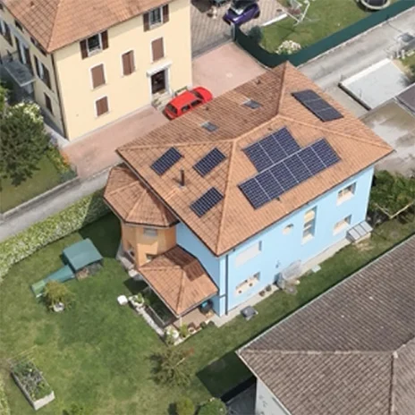
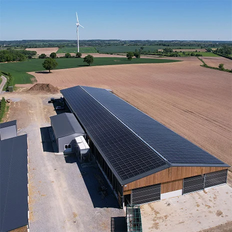
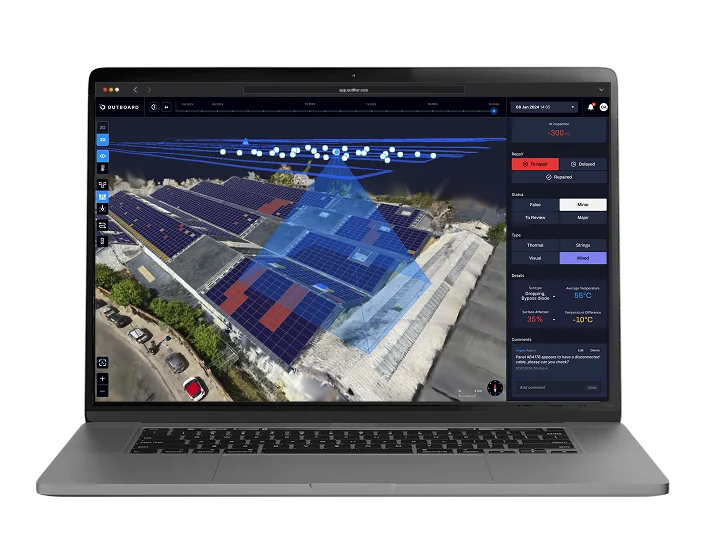
The Outflier software suite allows fast, precise inspections of solar panels on agricultural, commercial, and industrial rooftops. With optimized drone flights, adaptive pricing, and contextual anomaly detection that pinpoints issues with high precision, our solution boosts performance and prevents hazards through a tailored, scalable approach.
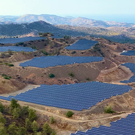
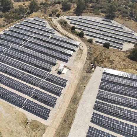
For utility-scale solar plants built on mountainous terrain, Outflier can generate 3D flight plans that follow the natural slope while maintaining a constant distance to the panels. This ensures uniform imaging quality and keeps drone operations safe across the entire site, even in steep or irregular landscapes.
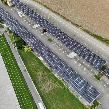
For parking shade installations, Outflier can generate and execute optimized flight plans that adapt to any specific construction shape, even over large surfaces. Anomaly detection is contextual and consistent across the entire site, while geoguidance ensures maintenance is fast and efficient.
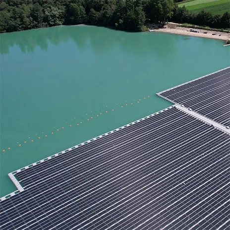
For floating solar plants, Outflier tackles the challenge of locating anomalies on large, repetitive arrays with no fixed background. It automatically reconstructs an accurate map over open water and precisely positions every issue, making inspections faster, more reliable, and easier to integrate into maintenance workflows.
For solar plants with trackers, Outflier offers a flexible inspection solution that minimizes the time trackers must stay immobilized horizontally. This ensures little to no energy loss while still delivering high-quality anomaly detection. Operators benefit from a smooth, efficient workflow that preserves performance without compromising accuracy.
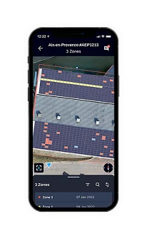
For utility-scale solar plants, Outflier automatically detects, characterizes, and ranks all visual, thermal, and string-level anomalies with precise localization on an auto-generated panel map from drone imagery. The mobile app then geoguides technicians to each issue, speeding up maintenance and ensuring consistent quality through deep automation.
Inspect your solar plants and maximize efficiency with our innovative software suite!